Sale on canvas prints! Use code FAXEBY at checkout for a special discount!


by Phil Cardamone
$47.00
Design Location
Color
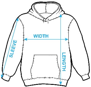
Image Size
Product Details
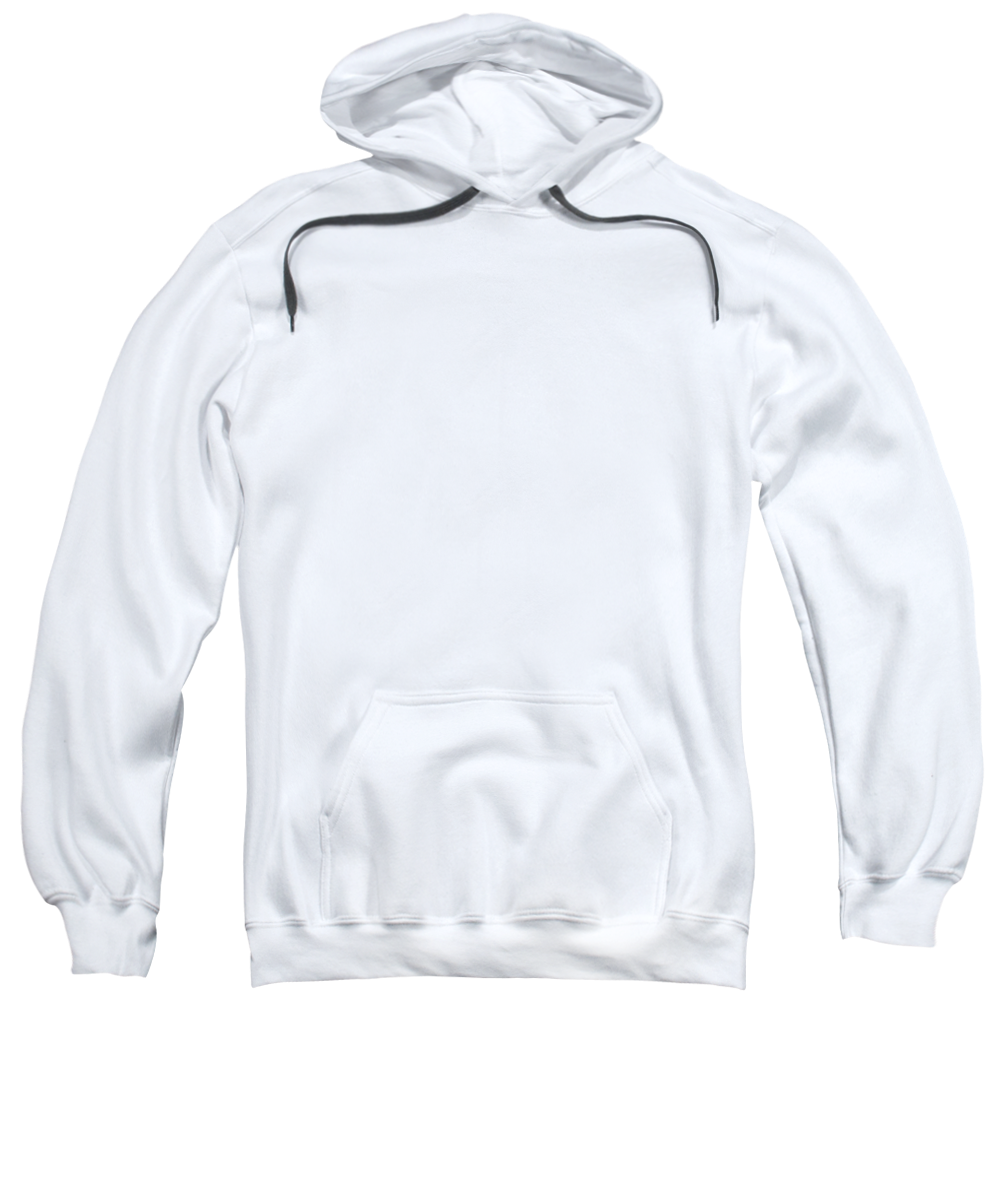
Our hoodies are made from a 75% cotton / 25% polyester blend and are available in five different sizes. All hoodies are machine washable.
Design Details
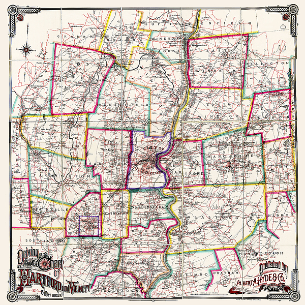
Driving does not refer to motor vehicles but to horse drawn carriages.
Antique map published in 1884. This is a carefully restored... more
Ships Within
1 - 2 business days
Driving does not refer to motor vehicles but to horse drawn carriages.
Antique map published in 1884. This is a carefully restored reproduction of a map titled: Driving chart of Hartford and vicinity: 15 miles around. Map is a great conversation piece and historical reference. Please see my other restored Connecticut map reproductions.
I have selected interesting, old 19th century graphic images for digital restoration and editing. The images were adjusted and brightened to make the images suitable for display and other purposes.
I live in the United States and use mostly Nikon and Sony equipment. My work includes fine art photography, B&W imagery, and enhanced, restored reproductions of old images and maps. Many of my images displayed here can be licensed through http://licensing.pixels.com. Please contact me for any special needs concerning the use of my images. Thank you for stopping by and looking at my work. Feel free to browse my images and comment, if you wish. The 5 x 7 greeting card size is suitable for framing if you would like a small print of one of my images. Please note that images on this site may not be used for any commercial publication or on any personal website without written permission. It is illegal to copy, post, scan or duplicate...
$47.00


There are no comments for Horse Carriage Era Driving Map of Hartford Connecticut Vicinity 1884. Click here to post the first comment.